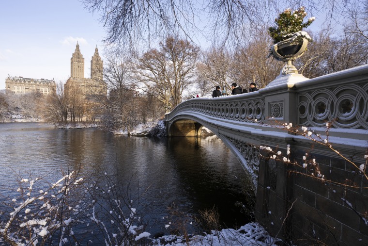
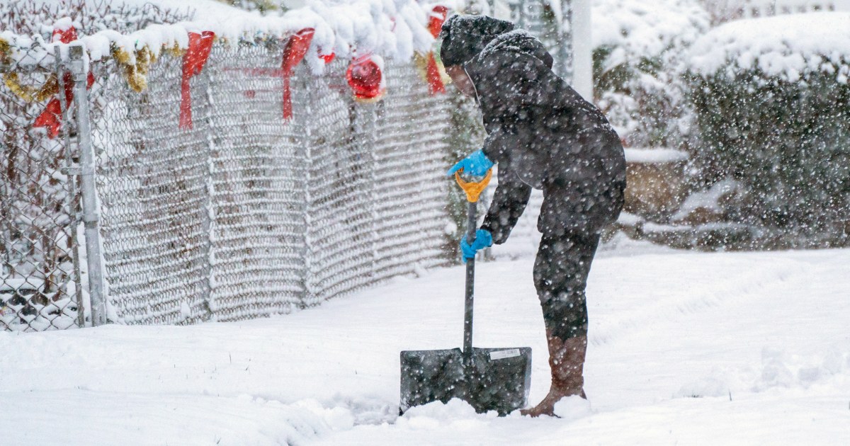
People in the Northeast woke up to the sight of snow on the first day of winter Saturday, despite the news that a white Christmas is not expected later this week.
Snowfall totals ranged from a dusting to six inches, with the highest total — 9.4 inches — in Milton, Massachusetts. Snow showers moved off shore thanks to a strong cold front that’s hanging over the region Saturday afternoon, with daytime highs staying 10-20 degrees below average.
More snow is possible Saturday night in parts of the mid-Appalachians and Great Lakes, where scattered Winter Alerts remained in place into the afternoon. These areas could see an additional dusting to up to two inches of snow. Breezy winds up to 35 mph are also expected Saturday.
Due to the cold temperatures, freeze alerts are in effect for northeast Florida and southeast Georgia Saturday night. Cold Weather Advisories are also in place in isolated parts of New York, western Massachusetts and northeast Pennsylvania for Saturday night.
Rain and snow fall in the northwest
On the other side of the country, heavy rain is pouring down in northern California all the way up through Washington state, and mountain snow is falling from the Cascades to the Sierra Nevada, and will eventually make its way to the northern Rockies.
The rain and mountain snow will continue in the region as low pressure systems move onshore. Higher elevations should expect a couple of fresh inches of snow, while rainfall totals through Sunday range from 0.5-3 inches.
Wind is also plaguing the west, with gusts up to 65 mph possible. Alerts are in place for parts of California, Oregon and Wyoming.

It’s not wintry all over the U.S.
Temperatures throughout the western half of the country will soar 10-25 degrees above average Saturday, with records possible in Phoenix, Tucson, Palm Springs and Las Vegas.
By Sunday, this warmer air will spread over the Plains, with highs as much as 30 degrees warmer than average. Potential records on Sunday include Tucson, San Jose, Phoenix and Palm Springs.
The warm air will gradually shift over the lower 48 states of the U.S. throughout the week, with highs 10-20 degrees above average in the west and central U.S. by Monday.
Christmas Eve and Christmas Day will be warm, with highs throughout the country at or above average. In some places through the Plains and the Mississippi Valley, temperatures will be as much as 20 degrees above average.
The warmer weather probably means there won’t be a white Christmas, but a snowy holiday is possible in some areas of the country, and a wintry Christmas Eve is even more likely.


