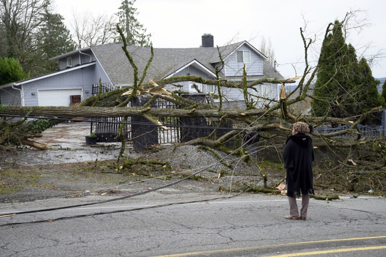
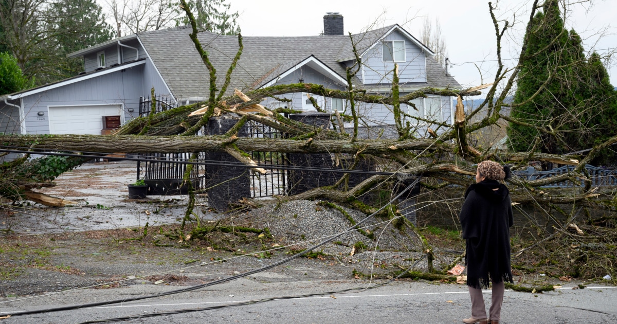
Washington state is reeling following a powerful “bomb cyclone” that left two dead, knocked out power to half a million at its peak and downed trees and power lines. But respite won’t last long as another storm is on the way.
The Pacific Northwest was battered by the storm, which formed off the coast Tuesday and brought high winds, rain and heavy mountain snow to Washington.
The extreme weather left widespread damage, blanketed communities in white snow, caused chaos and closures on roads, and knocked out power to hundreds of thousands in Washington in what Puget Sound Energy described as a “multiple day outage.” As of 10 a.m. ET Thursday, there are over 320,000 customers without power in Washington, according to PowerOutage.Us.
Two women died in the Seattle area in the storm.
A woman in her 50s was killed when a tree fell at a homeless encampment in Lynnwood around 7 p.m. PT Tuesday, according to South County Fire, which provides emergency services in Snohomish County, north of Seattle. A resident of the Bridle Trails neighborhood in Bellevue, a suburb of Seattle, called to report a tree had crashed into his house, killing his wife, firefighters said.
Washington is now recovering from the fierce storm, but another weather system is on its way. A developing storm system is forecast to bring another round of gusty winds on Friday and heavy mountain snow spreading toward the northern Rockies into the weekend, the National Weather Service said Thursday.

The system is forecast to “swing off the Oregon and Washington coastline on Friday,” and it’ll bring gusty winds, mainly along coastal areas, and could produce rough surf and more isolated power outages.
Meanwhile, a strong atmospheric river event is also impacting Northern California and southwestern Oregon, with flood watches in effect for 2 million people. It could bring up to 5 feet of snow in the mountains and up to 16 inches of rain in parts of the Golden State.
The National Oceanic and Atmospheric Administration describes atmospheric rivers as long, narrow regions of the atmosphere that “transport most of the water vapor outside of the tropics.”
It’s forecast to remain “relatively stationary” over the next few days, dropping six to 12 inches of rain over already-saturated areas. This will lead to storm totals of 12 to 16 inches by the time the storm winds down by the weekend.
The atmospheric river is forecast to hit peak intensity Thursday, with “moderate bouts of rain lingering through much of Friday and snow levels finally lowering somewhat on Saturday,” the weather service said.
It’s already clocked peak wind gusts of 98 mph in Mattole Road, California and 89 mph in Acorn Woman Peak, California, and peak rainfall thus far of 8.72 inches in Austin Creek, and 5.21 inches in Point Area, California.
Flooding, rock slides and debris flows are likely and a high risk of excessive rainfall is issued across the Northern California coastline today, according to forecasters.


